


A measured building survey is a detailed survey that captures accurate measurements and data of the existing physical features and dimensions of a building. Our surveys follow the guidance as set out in the RICS Measured surveys of land, buildings & utilities, 3rd edition. They are usually undertaken in tandem with our topographic surveys to provide a comprehensive understanding of the site.
Survey outputs
- Floor plans: Floor plans provide a detailed representation of the building’s layout, including the arrangement of rooms, walls, doors, windows, staircases, columns, room dimensions, etc.
- Elevations: Elevations show the vertical dimensions & features of the building facade, including heights, openings, chimneys and other architectural elements.
- Sections: Vertical slices through the building illustrating the relationships between floors, spaces and construction elements.
- Roof plans & reflected ceilings: Features include roof slopes, chimneys, ceiling grids and services.
- 3D Models: We also capture point clouds and generate 3D models of both existing and proposed buildings. We use 3D models in our own developments and are particularly useful during the concept design phase of The RIBA Plan of Work.
- Utility features: We may also measure the location and dimensions of utility services, such as electrical, plumbing and drainage systems.
- Area measurements: Accurate area measurements including Gross Internal Area (GIA), Net Internal Area (NIA) and other formats in line with RICS property measurement standards.
Data collection
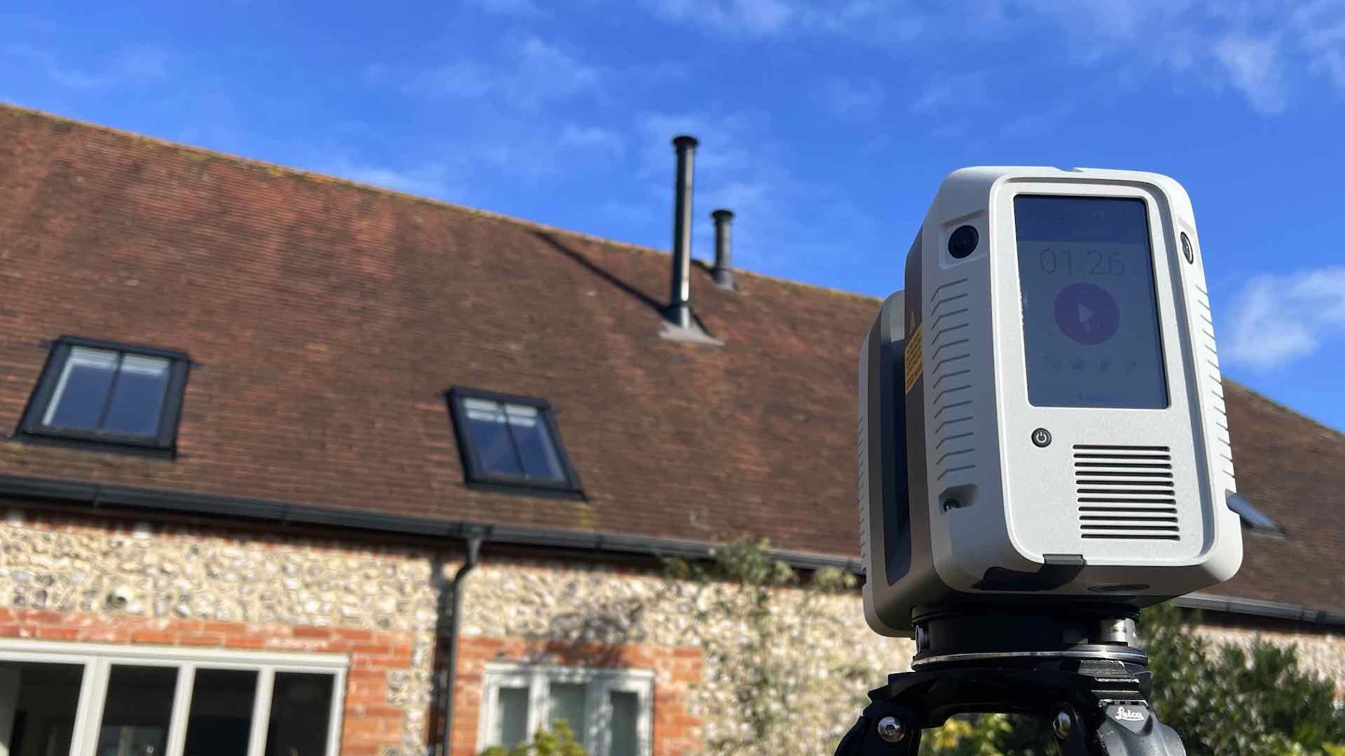
Our surveys involve the collection of precise measurements and data using various surveying techniques and equipment including total stations, laser scanners, handheld measurement tools and drones (where appropriate). The level of accuracy depends on the purpose of the survey and the requirements of the project.